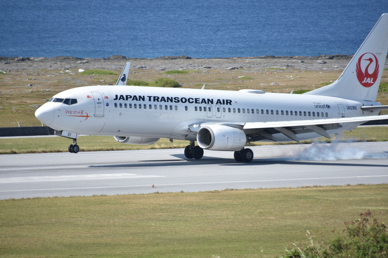
IEICE Space and Navigation Electronics Research Committee / Satellite Communications Research Committee (Kumejima, Okinawa Prefecture)
Introduction
I participated in the joint February workshops of the Institute of Electronics, Information and Communication Engineers (IEICE) Technical Committee on Space and Navigation Electronics (commonly known as SANE-ken) and Satellite Communications (commonly known as SAT-ken). The workshops were held at the EEF Information Plaza in Kumejima Town, Shimajiri District, Okinawa Prefecture, for two days, February 19th and 20th, 2026.
This was my second visit to Kumejima, the first being in July 2015 for the Communication Systems (CS-ken) Technical Committee meeting, and I was really looking forward to it. I attended the meeting fully prepared, bringing with me a DSLR camera, a 360-degree camera, a Starlink Mini, a Starlink Direct-compatible smartphone, and a wideband receiver.
Joint Technical Committee Meeting on SANE-ken and SAT-ken
Kumejima Island is about a 20-minute flight from Naha Airport in Okinawa. The flight to Kumejima was fully booked, even though it was a weekday.
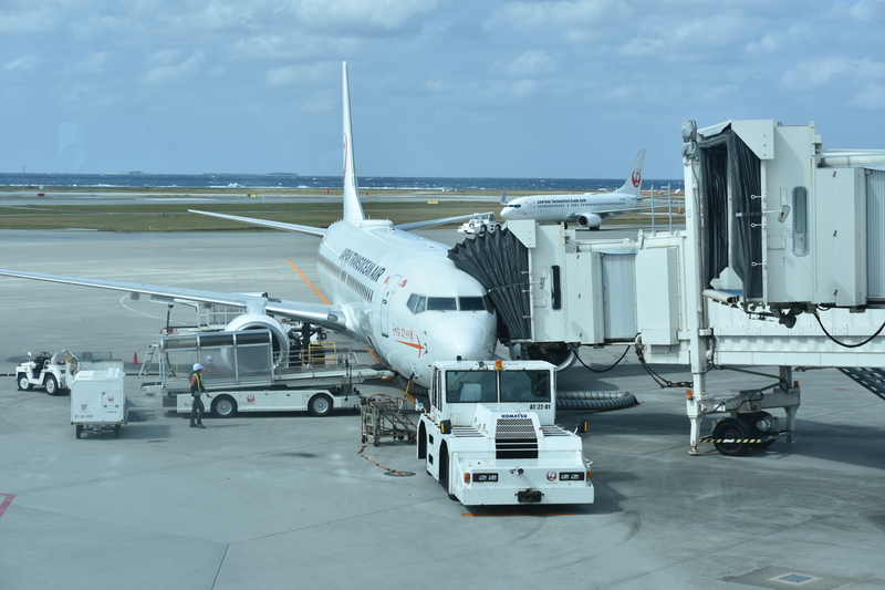
While a minimum of 30 minutes is required for connecting flights at Naha Airport, delays are common, so it’s best to allow for more time for your connection.
At Kumejima Airport, a town-operated bus service operates to the city center, timed to coincide with flight departure and arrival times.
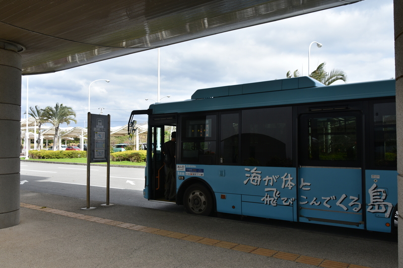
Buses departing from Kumejima Airport pass by a hospital, a supermarket, schools, and Oujima Island, before heading to the bus depot, passing through the main town area, specifically in front of the Eef Beach Hotel and the Eef Information Plaza.
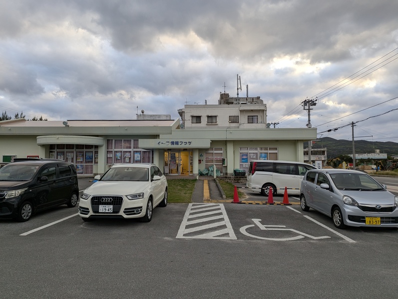
The Eef Information Plaza, the venue for the research meeting, also serves as a tourist information center.
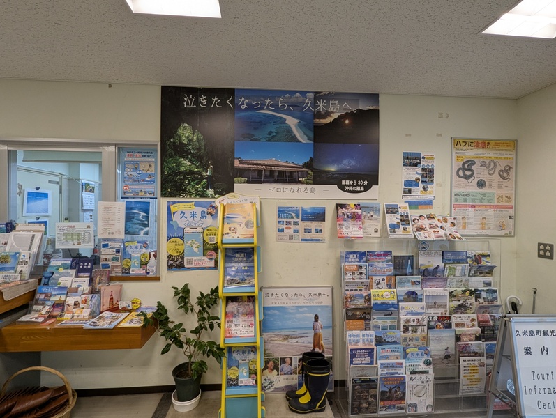
I usually arrive at the research venue early to prepare, but by this time, many participants had already gathered.
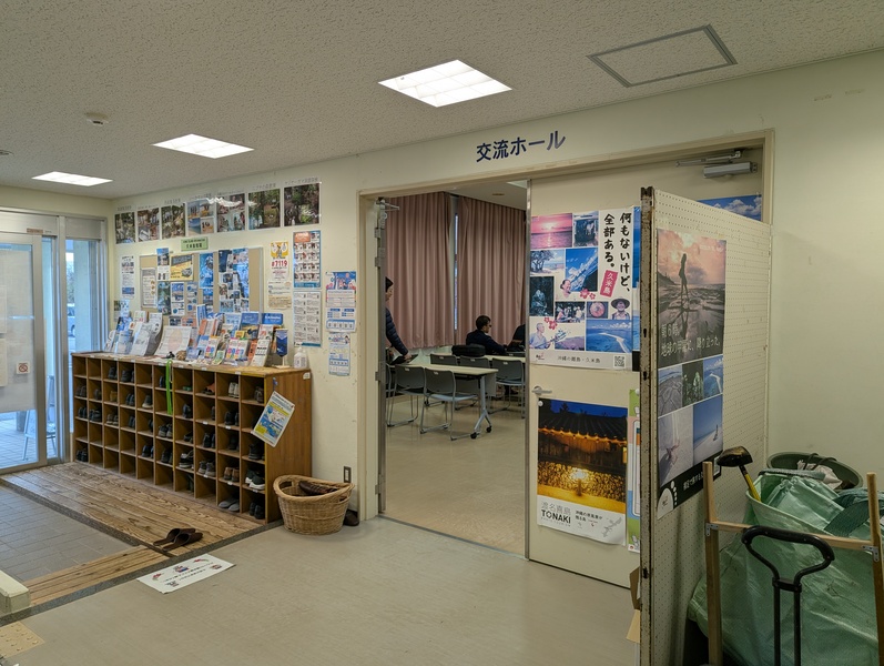
The venue was spacious and comfortable.
On the first day, I gave a research presentation titled “A Comparison of Positioning Augmentation Messages CLAS and MADOCA-PPP Broadcast by the Quasi-Zenith Satellite System Michibiki.” For the rest of the time, I attended lectures on research results related to low Earth orbit (LEO) satellite radio signal transmission methods, signal control methods, radio positioning, drone imaging, SAR satellite observations, radio navigation to the moon, airport runway surveillance radar, non-terrestrial networks (NTN), and radio modulation and demodulation.
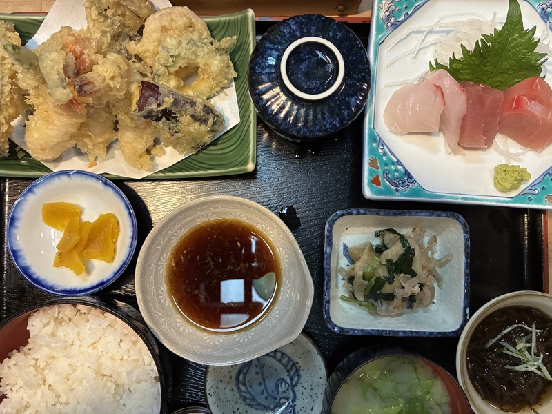
The food on Kumejima Island was delicious, and I had a wonderful time. Also, the convenience store right next to the Eef Information Plaza sold Blue Seal ice cream, a famous Okinawan product. Furthermore, there’s an A-Coop supermarket about a 15-minute walk from the Eef Information Plaza where you can buy souvenirs and other items.
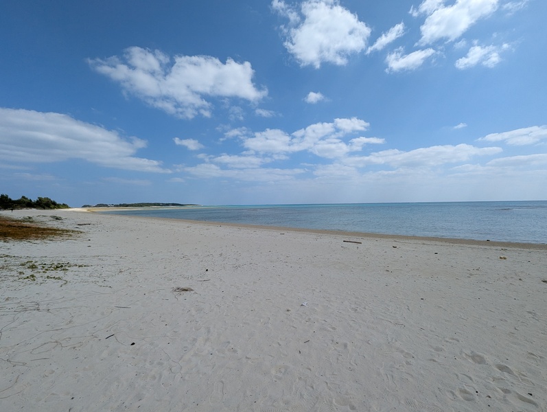
Behind the Eef Information Plaza is Eef Beach, which has been selected as one of Japan’s 100 Best Beaches.
Kumejima Sea Turtle Museum and Tatamiishi
Okujima Island is about a 40-minute walk from the Eef Information Plaza, and it is home to the Kumejima Sea Turtle Museum. The research meeting was scheduled to start at 8:30, so I arrived on Kumejima the day before the meeting. I used that free time to visit the Kumejima Sea Turtle Museum.
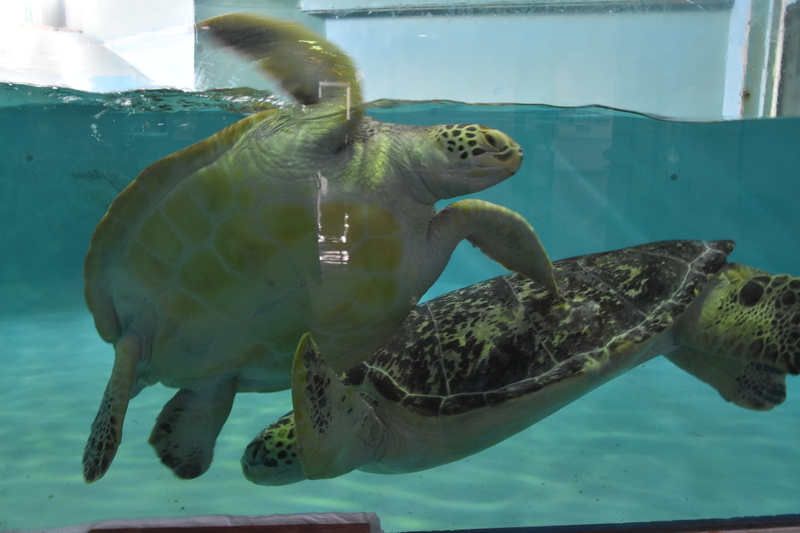
The large tank housed seven sea turtles of varying sizes. At the back of the tank was a space designed to resemble a sandy beach where the turtles could relax.
The last entry time for the sea turtle exhibit is 4:00 PM, so please plan your visit carefully if you wish to see them.
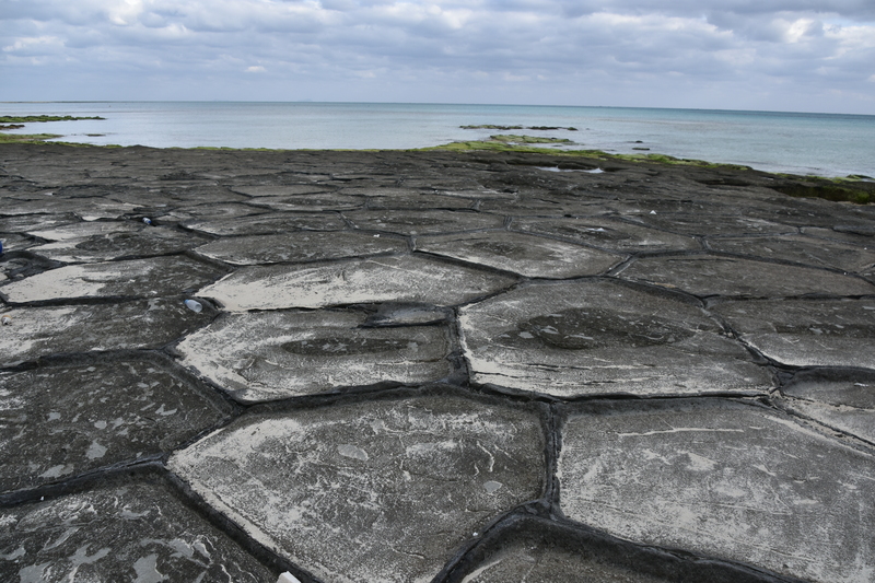
Near the Kumejima Sea Turtle Museum is Tatamiishi, where you can view columnar jointing—formed by solidified lava—from above. The pentagonal and hexagonal stones resemble a turtle’s shell.
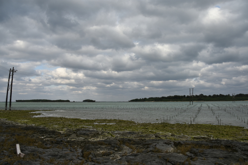
Walking further, you’ll find a “utility pole in the sea” connecting Oujima Island to the neighboring Ohajima Island. Apparently, there are water supply and sewage systems beneath it.
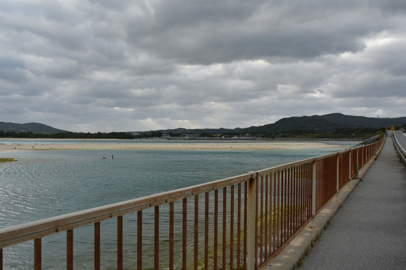
A beautiful sandy beach stretched out along the bridge connecting Okujima Island and Kumejima Island.
Hatenohama
The research meeting ended at 4:45 PM, and since I couldn’t go straight home, I stayed another night on Kumejima Island.
I could have waited for my flight at the airport, but since I had the time, I took a boat to “Hatenohama,” an uninhabited island 5 kilometers east of Kumejima, before my flight departed. This is an uninhabited island made entirely of sand.
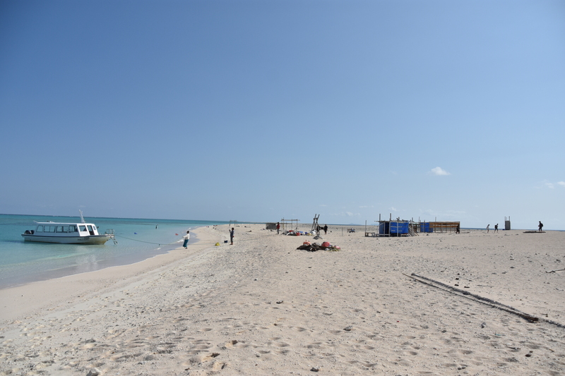
According to KDDI’s area map, it appears that Starlink Direct, which directly connects smartphones to SpaceX satellites, should be available at Hatena Beach. However, my observations showed that I was connected via LTE band 1 (4G), meaning satellite connection was absolutely impossible. I walked around the beach for an hour, but was unable to establish a satellite connection.
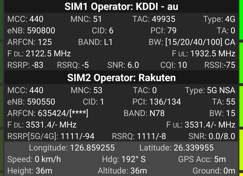
I was aiming to enjoy the amazing scenery of Hatena Beach twice as much with Starlink Direct. It was a shame I couldn’t connect to Starlink Direct, but I still enjoyed it 1.8 times more than I expected.
I also took photos of the scenery with a 360-degree camera. Click the black box below to see the photo. You can change the viewpoint by dragging a point in the photo with your mouse.
In Kumejima, I attended research presentations on the latest communication technologies, ate delicious food, and saw amazing scenery. If I have the chance, I would like to visit Kumejima again.